California Prepares for Series of Storms Delivering Rain and Snow

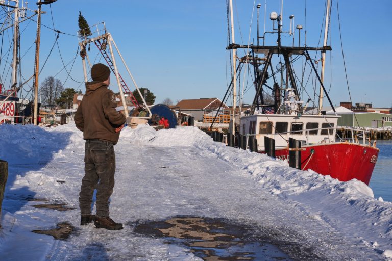
This Christmas is shaping up to be a particularly wet one in California, as a series of storms are set to unleash up to 10 inches (25 centimeters) of rain throughout the week. An atmospheric river is currently soaking San Francisco and the Bay Area, prompting flood watches that extend across nearly the entire state, according to the National Weather Service.
As this initial storm system passes through, another will follow closely behind, bringing rain to Southern California on Tuesday and snow to higher elevations on the same day. This back-to-back storm pattern is expected to continue, with additional systems poised to impact the state later in the week.
Midweek, colder temperatures are anticipated, which will lower the snow level to around 5,000 feet (1,500 meters) by Friday. Bryan Jackson, a meteorologist with the US Weather Prediction Center, noted that this influx of moisture will be a significant change for the region.
Related: Rare Weather Warning Issued as Strong Gusts Fuel Colorado Wildfire Threats
This weather shift is particularly welcome for ski areas that have been in dire need of more snow. Winter storm warnings and watches are currently in effect across the Sierra Nevada mountains, where the precipitation will be beneficial for both the ski resorts and the local ecosystem.
“It’s been dry,” Jackson remarked. “It certainly won’t be after this.” The anticipated storms are expected to bring much-needed relief to the parched areas of the state, replenishing water supplies and potentially alleviating drought conditions.
Copyright 2025 Associated Press. All rights reserved. This material may not be published, broadcast, rewritten, or redistributed.
Topics
California
Windstorm
Was this article valuable?
Here are more articles you may enjoy.
Interested in Windstorm?
Get automatic alerts for this topic.